Tektonikarena Sardona
Melser Geoweg
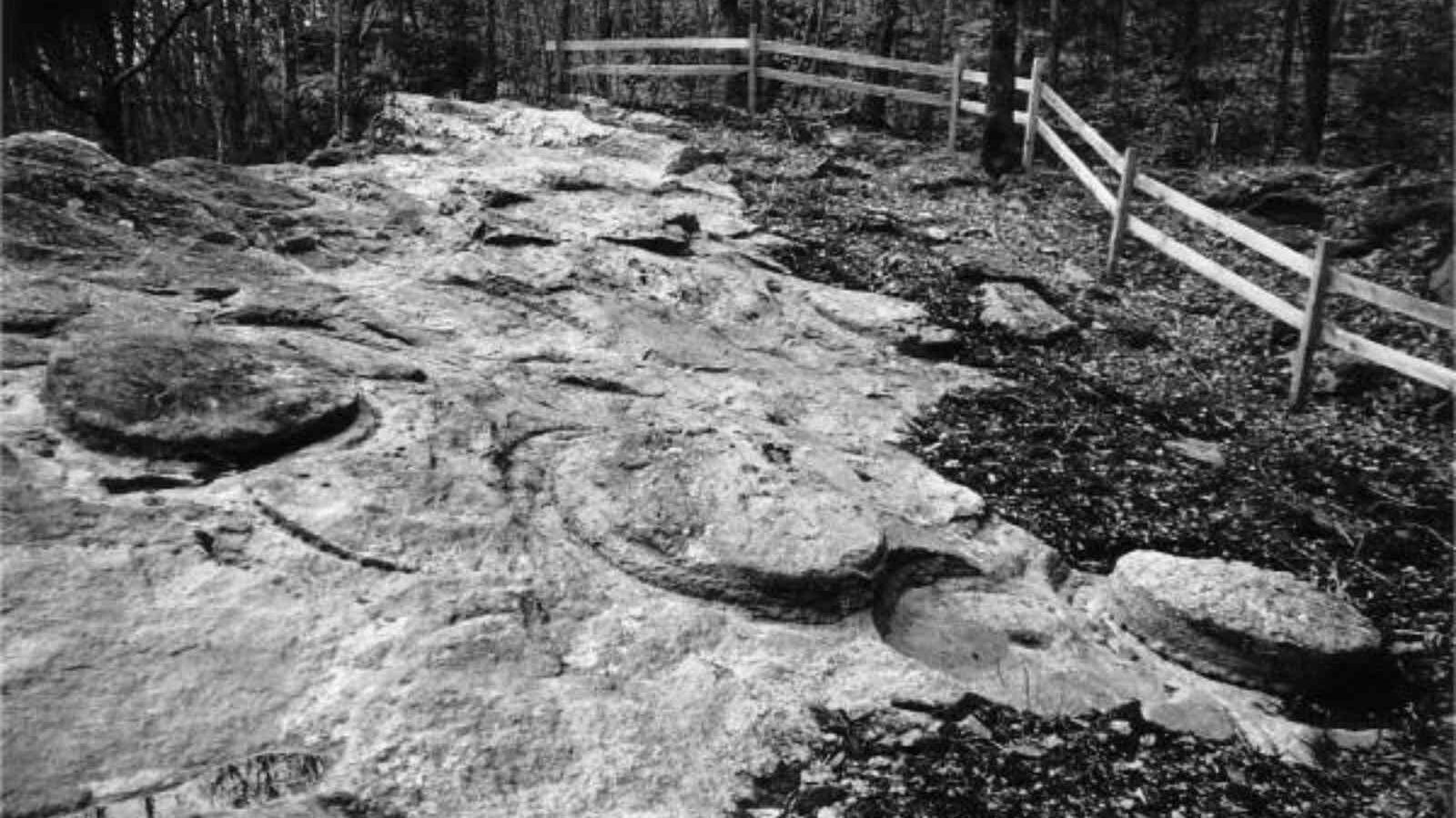
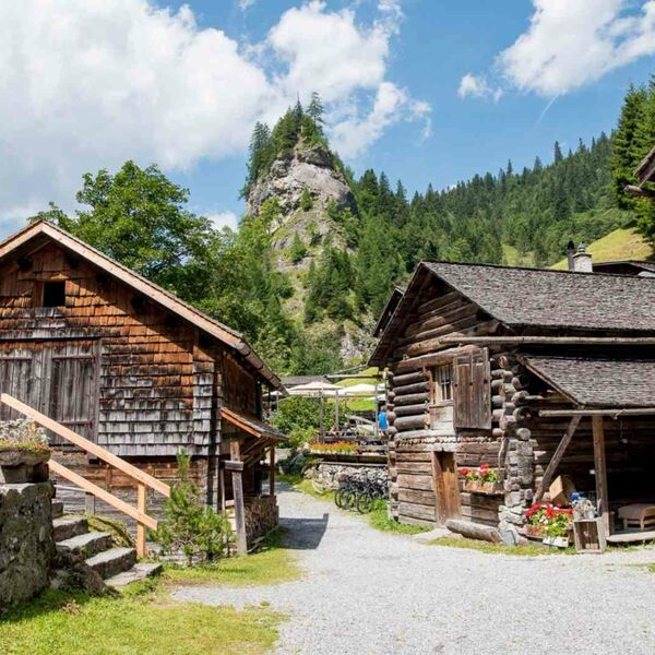
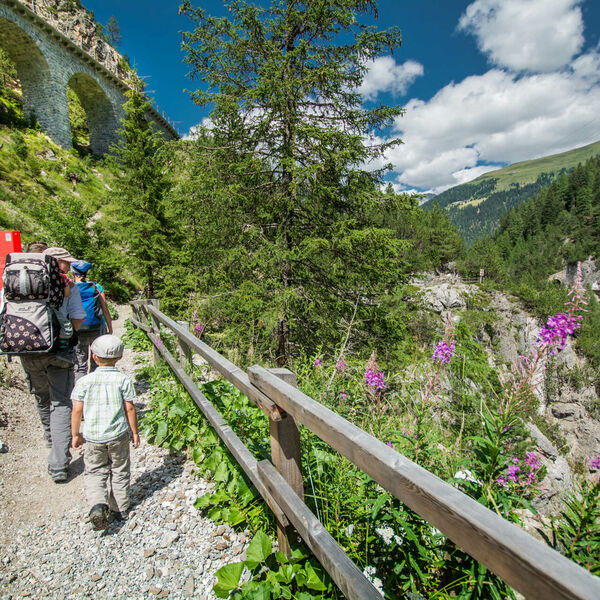
Unterwegs zu Stätten der Steingewinnung, Glas- und Eisenverhüttung und der Urgeschichte. Der Melser Geoweg führt sowohl durch den Melser Dorfkern als auch durch erholsame Waldpartien.
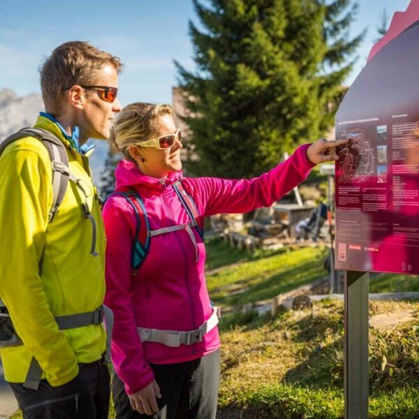
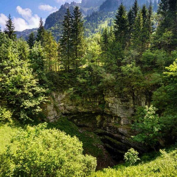
Am Melser Geoweg wird die Erdgeschichte der Ferienregion Heidiland mit Hilfe von über 30 typischen Gesteinsblöcken sowie dem eindrücklichen Panorama mit Sicht auf den Gonzen oder die Churfirsten vorgestellt. Die Themen beziehen sich immer auf die sorgfältig ausgewählten Tafelstandorte: Bergbau, Festungsbau, Mühlstein- und Brunnenproduktion, Eisenverhüttung, Glasherstellung, Kornmühlen, Urgeschichte, Erdgeschichte, Gebirgsbau und Lebensraum.
- Schwierigkeit
- mittel
- Distanz
- 6 km
- Dauer
- 2 Std.
- Start altitude
- 490 m ü. M.
- Endhöhe
- 490 m ü. M.
- Aufstieg
- 173 m
- Abstieg
- 173 m
- Niedrigster Punkt
- 476 m ü. M.
- Höchster Punkt
- 643 m ü. M.
