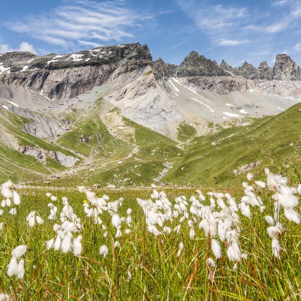
Rhätische Bahn in der Landschaft Albula/Bernina
Via Albula/Bernina
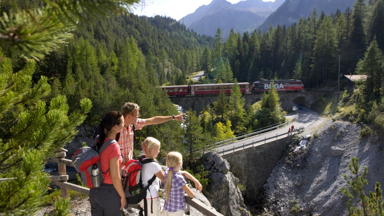
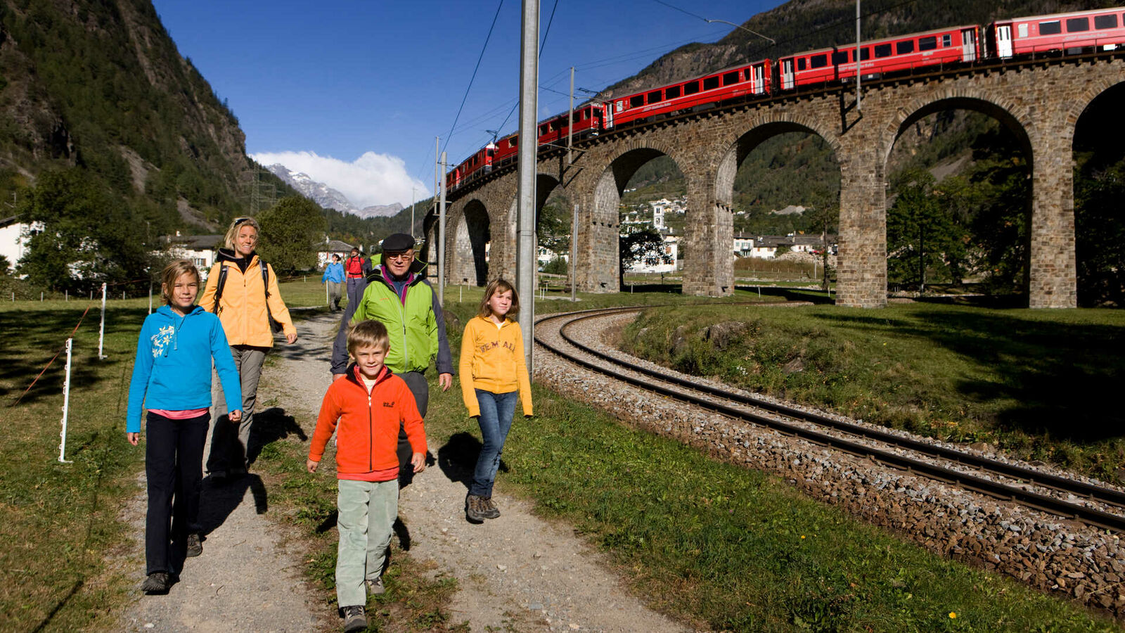
Entlang der UNESCO-Welterbe RhB Linie verläuft der einmalig angelegte Weitwanderweg Via Albula/Bernina. In 10 Etappen geht es zu Fuss auf 131 Kilometern von Thusis nach Tirano durch drei Sprach- und Kulturregionen. Aus nächster Nähe können Sehenswürdigkeiten wie der spektakuläre Landwasserviadukt bei Filisur, die Kehrtunnels zwischen Bergün und Preda, alte Bahnstationen und der Kreisviadukt in Brusio bestaunt werden. Eine besondere Augenweide ist die abwechslungsreiche alpine Landschaft.
- Schwierigkeit
- mittel
- Distanz
- 131 km
- Dauer
- 40 Std.
- Start altitude
- 697 m ü. M.
- Endhöhe
- 429 m ü. M.
- Aufstieg
- 4'650 m
- Abstieg
- 4'910 m
- Niedrigster Punkt
- 429 m ü. M.
- Höchster Punkt
- 2'466 m ü. M.
Etappe 1: Thusis – Tiefenfcastel
- Weiss Kreuz in Thusis
- Solisbrücke in Solis/Alvaschein
- Albula & Julier in Tiefencastel
Etappe 2: Tiefencastel – Filisur
- Gasthaus Post in Surava
- Bahnhöfli in Filisur
Etappe 3: Filisur – Bergün
Etappe 4: Bergün – Preda
- Preda Kulm in Preda
Etappe 5: Preda – Spinas
- Chesa Spinas in Spinas
Etappe 6: Spinas – St. Moritz
Etappe 7: St. Moritz – Ospizio Bernina
- Morteratsch am Bahnhof Morteratsch
- Restaurant 2309 auf dem Ospizio Bernina
Etappe 8: Ospizio Bernina – Cavaglia
- Alp Grüm auf der Alp Grüm
- Stazione Cavaglia in Cavaglia
Etappe 9: Cavaglia – Le Prese
- Hostaria del Borgo in Poschiavo
- La Romantica in Le Prese
Etappe 10: Le Prese – Tirano
- Osteria del Centro in Brusio
- diverse Restaurants in Tirano
Thusis - Tiefencastel
- Wanderzeit: 5.45 - 6.15 h
- Aufstieg/Abstieg: ca. 920/730 Höhenmeter
- Distanz: 19.6 km
- Charakteristik: Leichte (T1) bis mittlere (T2) Bergwanderung auf markierten, teils asphaltierten Fahrstrassen und gut ausgebauten Wanderwegen, ca. 80m langer Tunnel (in der Regel beleuchtet).
- Höhepunkte: Schinschlucht, Dorf Muldain, Solisviadukt, Kirche St. Peter in Mistail
Tiefencastel - Filisur
- Wanderzeit: 2.45 - 3.15 h
- Aufstieg/Abstieg: ca. 360/160 Höhenmeter
- Distanz: 11.5 km
- Charakteristik: Leichte (T1) bis mittlere (T2) Bergwanderung auf markierten Fahr- und gut ausgebauten Wanderwegen.
- Höhepunkte: Landwasserviadukt, Wasserweg ansaina, Filisur
Filisur - Bergün
- Wanderzeit: 3 - 3.15 h
- Aufstieg/Abstieg: ca. 590/300 Höhenmeter
- Distanz: 9.5 km
- Charakteristik: Filisur - Bellaluna leichte (T1) Wanderung, Bellaluna - Bergün mittlere (T2) Bergwanderung auf markierten Fahr- udn gut ausgebauten, teilweise schmalen Wanderwegen.
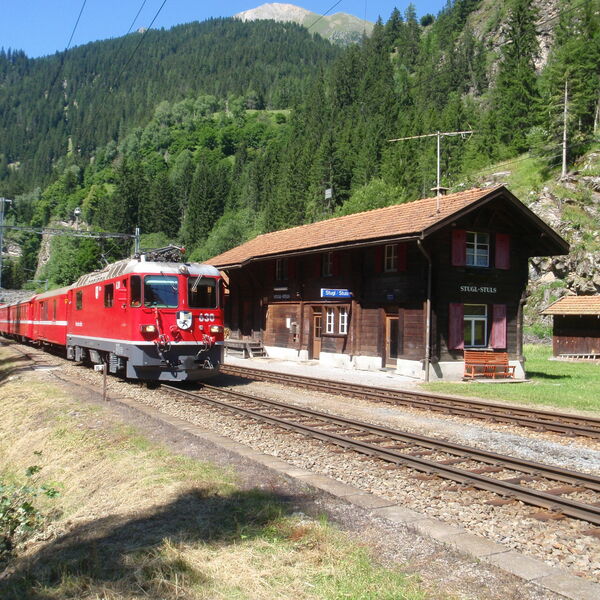
- Höhepunkte: Historische Bahnstation Stugl, Bahnmuseum Albula, Bahndorf Bergün
Bergün - Preda
- Wanderzeit: 2 - 2.15 h
- Aufstieg/Abstieg: ca. 470/60 Höhenmeter
- Distanz: 6.9 km
- Charakteristik: Mittlere (T2) Bergwanderung auf markierten Fahr- und gut ausgebauten, teilweise schmalen Wanderwegen.
- Höhepunkt: Bahnerlebnisweg Albula
Preda - Spinas
- Wanderzeit: 4.15 - 4.45 h
- Aufstieg/Abstieg: ca. 800/770 Höhenmeter
- Distanz: 12.0 km
- Höchster Punkt: Fuorcla Crap Alv, 2466 m ü.M.
- Charakteristik: Mittlere (T2) Bergwanderung (teils mit alpinem Charakter) auf markierten Fahr- und gut ausgebauten, teilweise schmalen, steinigen und steilen Wanderwegen, insbesondere Abstieg von der Fuorcla Crap Alv in die Val Bever verlangt Trittsicherheit.
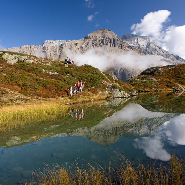
- Höhepunkte: Palpuognasee, Spinas
Spinas - St. Moritz
- Wanderzeit: 3.15 - 3.45 h
- Aufstieg/Abstieg: ca. 250/290 Höhenmeter
- Distanz: 13.7 km
- Charakteristik: Leichte (T1) Wanderung auf markierten Fahr- und gut ausgebauten Wegen.
- Höhepunkt: St. Moritz
St. Moritz - Ospizio Bernina
- Wanderzeit: 6 - 6.15 h
- Aufstieg/Abstieg: 780/300 Höhenmeter
- Distanz: 23.4 km
- Charakteristik: Leichte (T1) Wanderung bis mittlere (T2) Bergwanderung auf markierten Fahr- und gut ausgebauten Wanderwegen.
- Höhepunkte: Gletscherwelt Morteratsch, Wasserscheide Lago Bianco - Lej Nair
Ospizio Bernina - Cavaglia
- Wanderzeit: 2.30 - 3h
- Aufstieg/Abstieg: 210/770 Höhenmeter
- Distanz: 9.1 km
- Charakteristik: Mittlere (T2) Bergwanderung auf markierten Fahr- und gut ausgebauten Wanderwegen. Etwas steiler, schmaler Abstieg von Sassal Mason.
- Höhepunkt: Panorama-Aussichtspunkt Sassal Mason
Cavaglia - Le Prese
- Wanderzeit: 2.45 - 3.15 h
- Aufstieg/Abstieg: ca. 30/750 Höhenmeter
- Distanz: 10.4 km
- Charakteristik: Mittlere (T2) Bergwanderung auf markierten Fahr- und gut ausgebauten Wanderwegen, teilweise auf asphaltierten Strassen.
- Höhepunkte: Hochtal Cavaglia, Gletschermühlen, Dorf Poschiavo
Le Prese - Tirano
- Wanderzeit: 3.45 - 4.15 h
- Aufstieg/Abstieg: ca. 230/760 Höhenmeter
- Distanz: 14.2 km
- Charakteristik: Mittlere (T2) Bergwanderung auf markierten Fahr- und gut ausgebauten Wanderwegen. Teile davon auf asphaltierten Strassen, steintreppenartiger Abstieg von Santa Perpetua.
- Höhepunkte: Kreisviadukt in Brusio, diverse Obst-, Kastanien- und Weingebiete, Tirano
Buche eines der Wanderpackages von Eurotrek mit Übernachtung, Gepäcktransport und Bahnpass: Entweder eine der beiden 3-Tageswanderungen (Nord oder Süd) oder die 6-Tageswanderung Albula/Bernina.
Lerzenstrasse 21
8953 Dietikon
