Rhätische Bahn in der Landschaft Albula/Bernina
Etappe 5: Via Albula/Bernina, Preda - Spinas
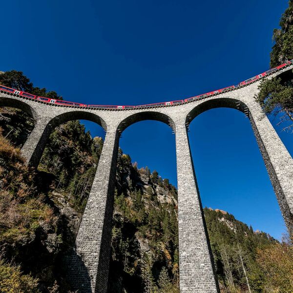
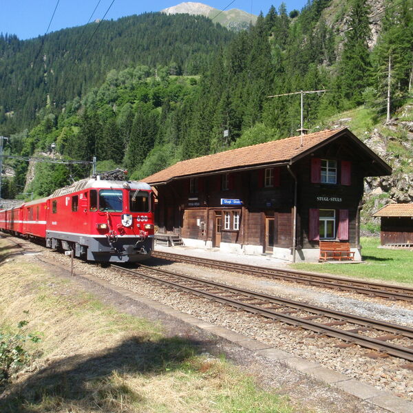
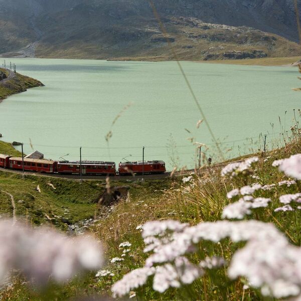
Entlang der UNESCO-Welterbe RhB Linie verläuft der einmalig angelegte Weitwanderweg Via Albula/Bernina. In 10 Etappen geht es zu Fuss auf 131 Kilometern von Thusis nach Tirano durch drei Sprach- und Kulturregionen. Aus nächster Nähe können Sehenswürdigkeiten wie der spektakuläre Landwasserviadukt bei Filisur, die Kehrtunnels zwischen Bergün und Preda, alte Bahnstationen und der Kreisviadukt in Brusio bestaunt werden. Eine besondere Augenweide ist die abwechslungsreiche alpine Landschaft.
Etappe 4
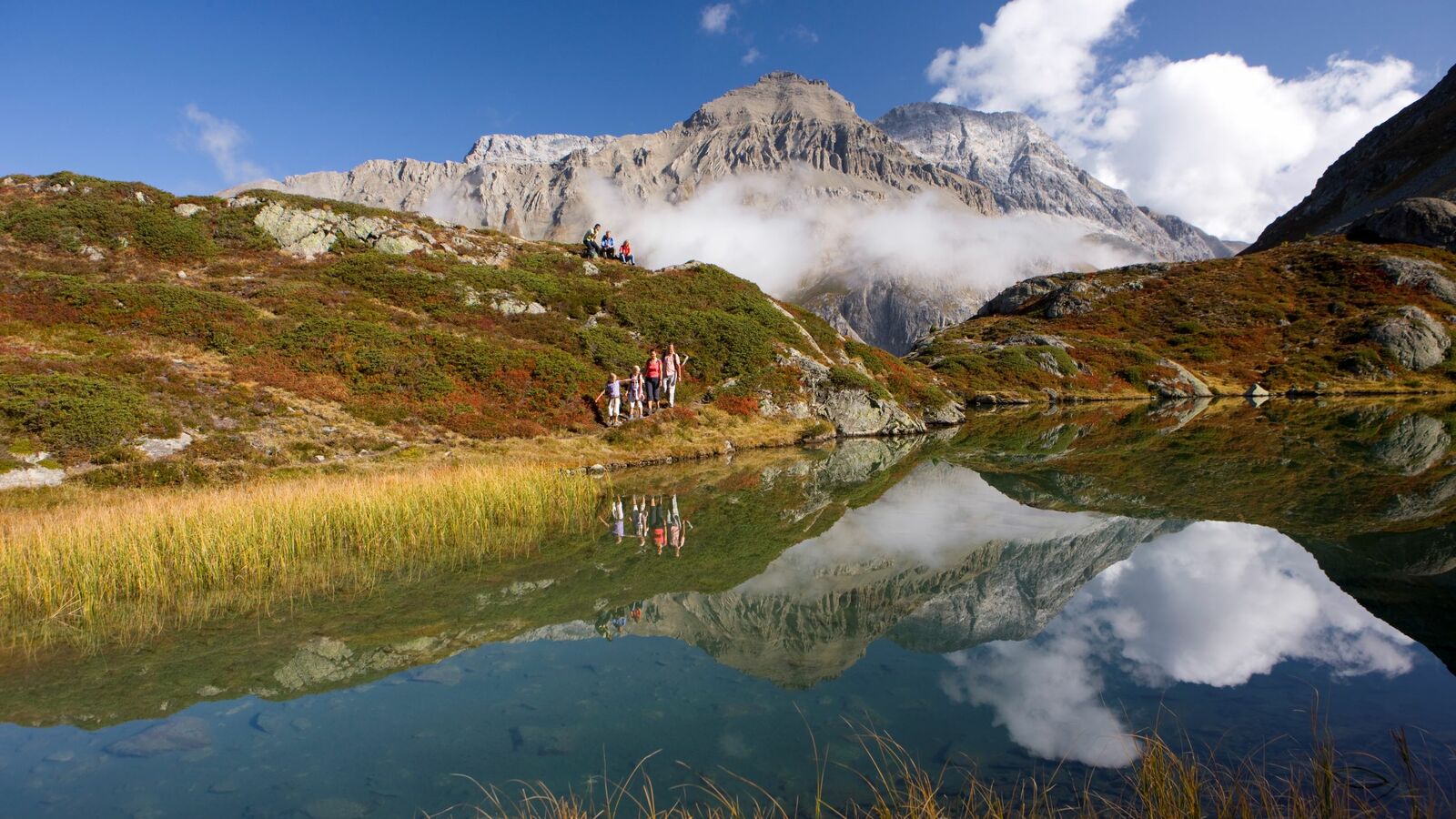
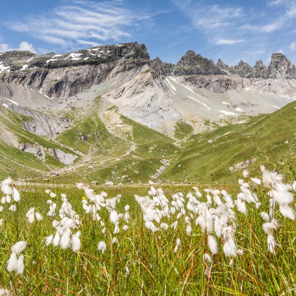
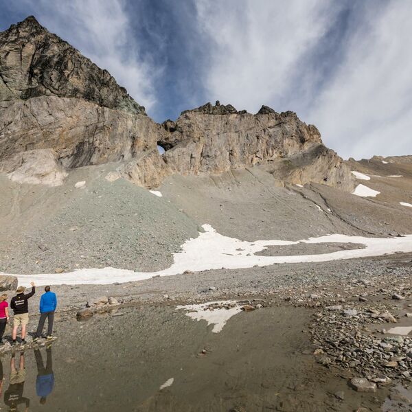
Diese Etappe führt von Preda über den Albulapass zum südlichen Tunnelportal im Engadin. Vorbei am kristallklaren Palpuognasee führt die Bergwanderung über die Alp Weissenstein oder Crap Alv und weiter auf die Fuorcla Crap Alv (2'466 m ü.M.). Steil hinunter geht es danach ins wildromantische Val Bever mit dem Etappenziel Spinas.
Charakteristik
Mittlere (T2) Bergwanderung (teils mit alpinem Charakter) auf markierten Fahr- und gut ausgebauten, teilweise schmalen, steinigen und steilen Wanderwegen, insbesondere Abstieg von der Fuorcla Crap Alv in die Val Bever verlangt Trittsicherheit.
Angebot Via Albula/Bernina
Buchen Sie eines der Wanderpackages von Eurotrek mit Übernachtung, Gepäcktransport und Bahnpass. Entweder eine der beiden 3-Tageswanderungen von Thusis nach St. Moritz oder von St. Moritz nach Tirano - oder die 6-Tageswanderung von Thusis nach Tirano.
