Schweizer Alpen Jungfrau-Aletsch
Auf den Pfaden der Bergbauern
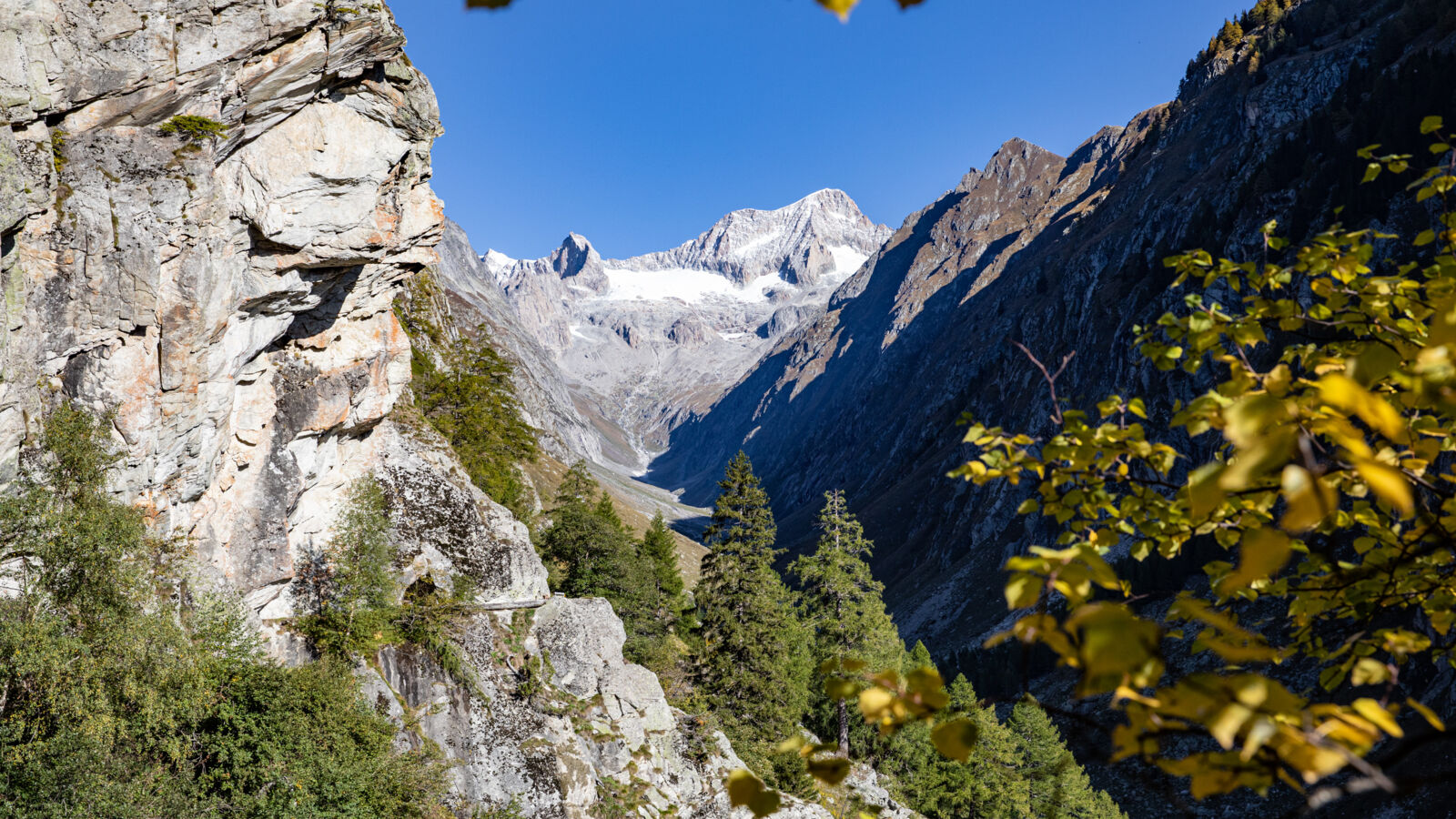
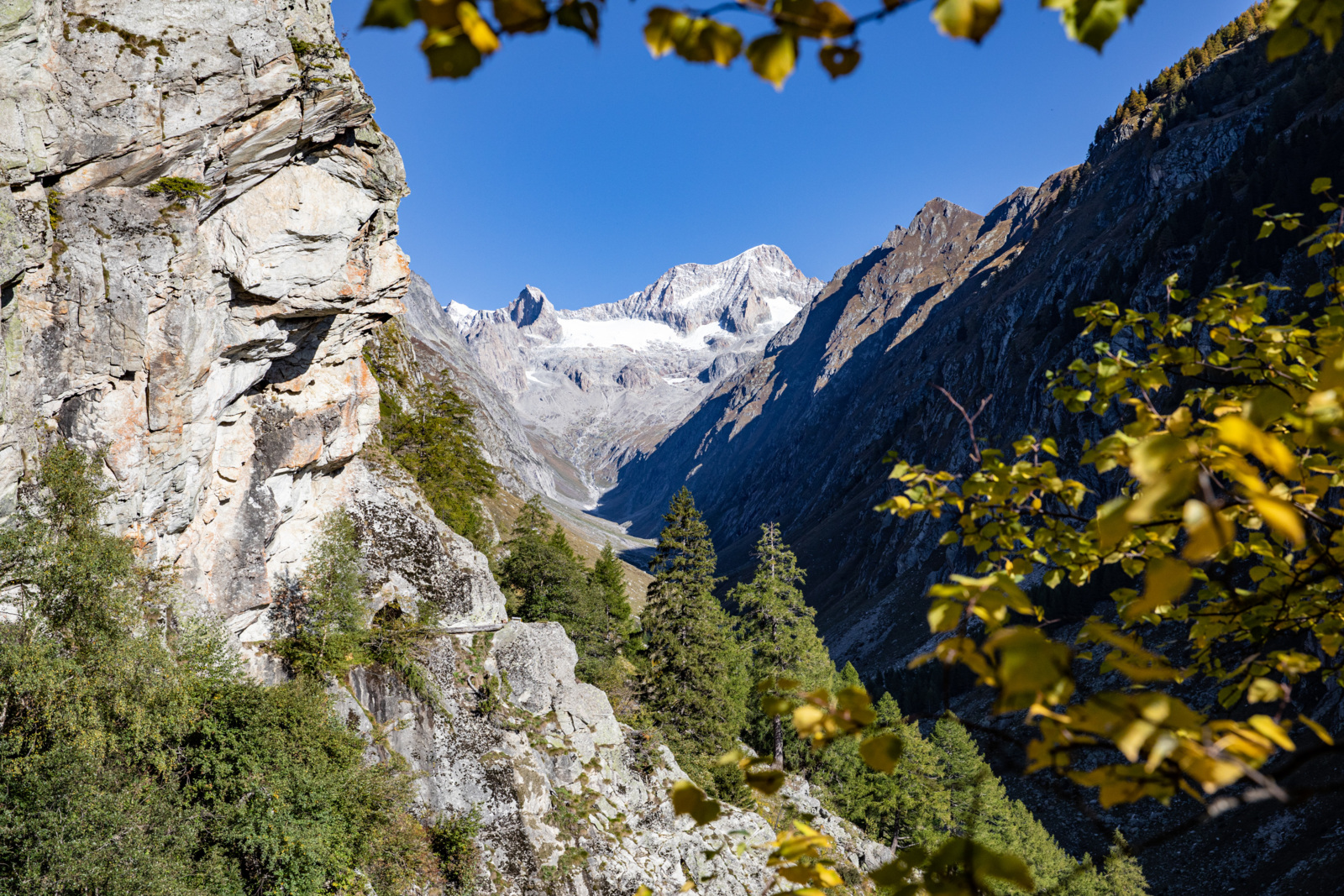
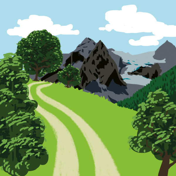
Diese Wanderung entlang der trockenen Walliser Südhänge zeigt die Relevanz der Wasserversorgung, denn nur dank traditioneller Bewässerung können trotzdem saftig grüne Wiesen und Weiden durchquert werden.
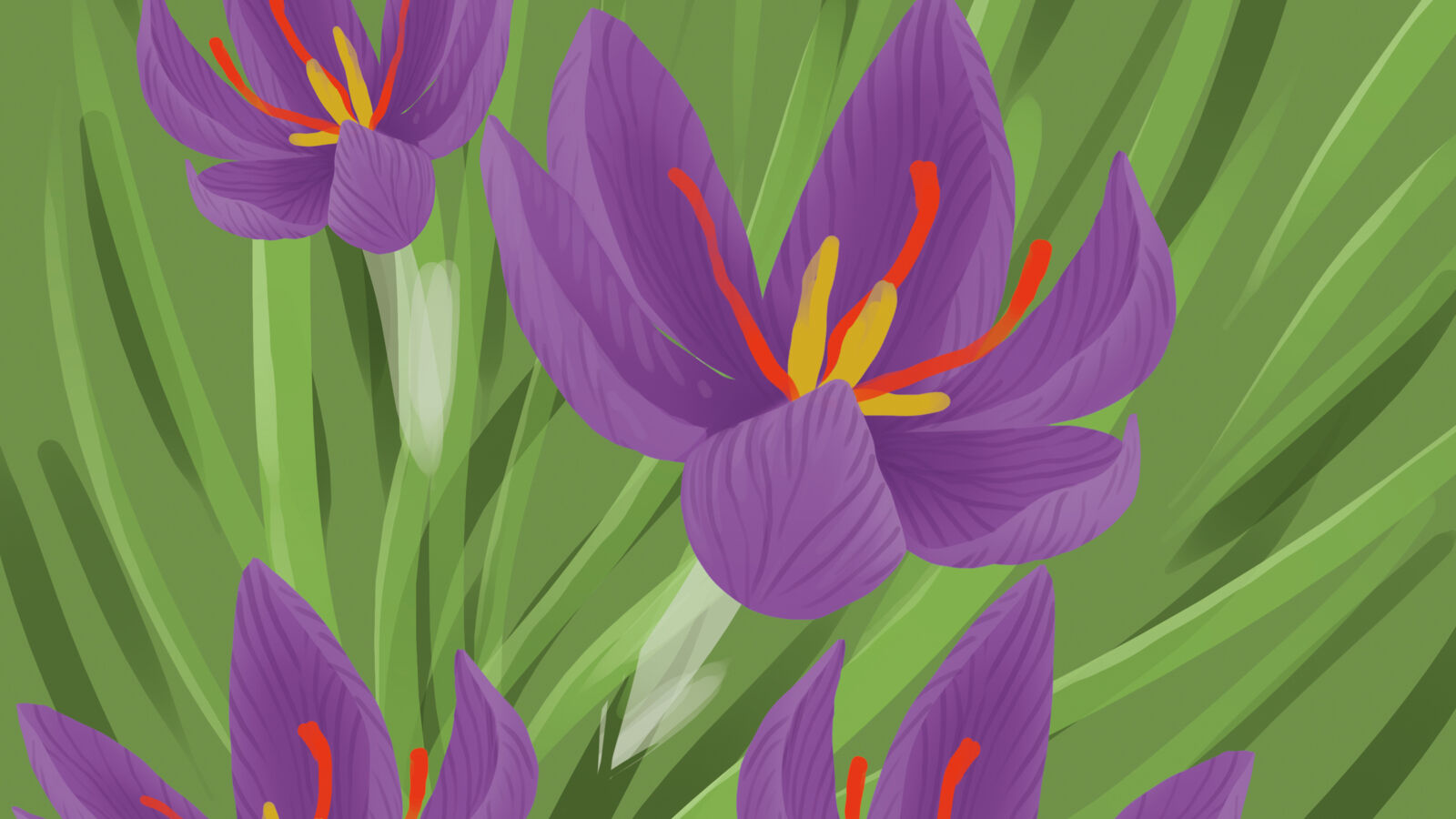
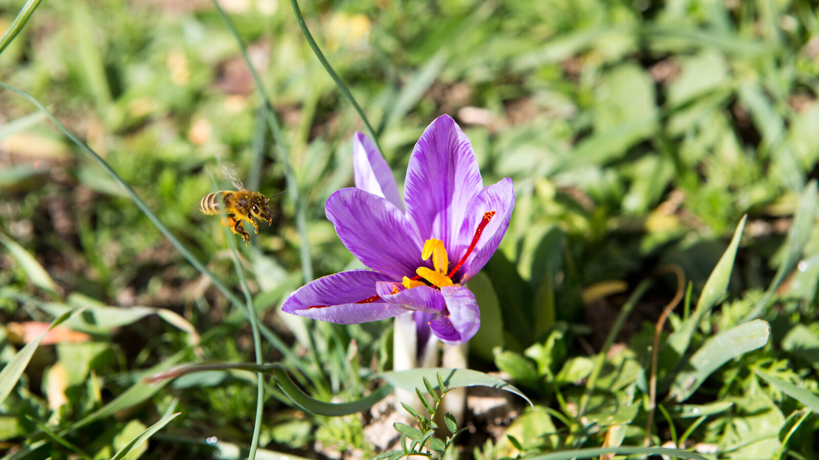
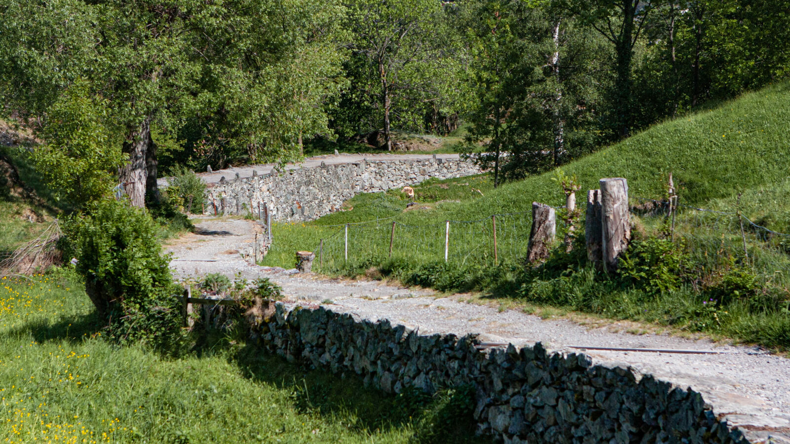
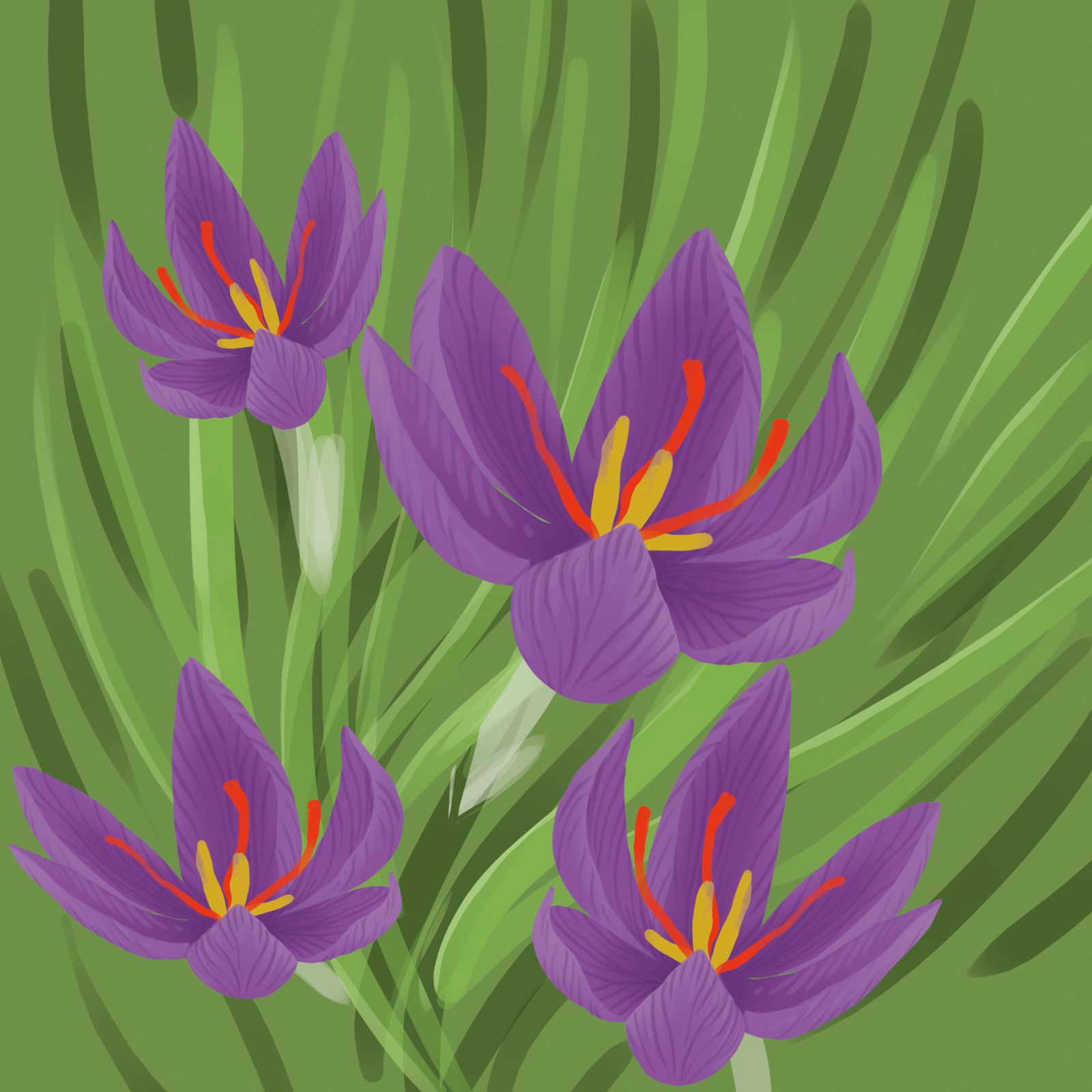
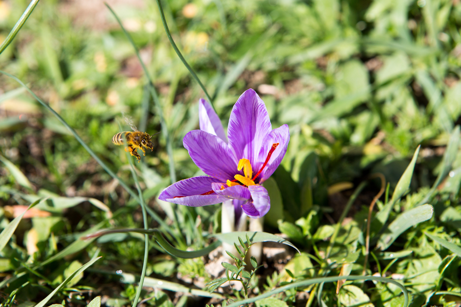
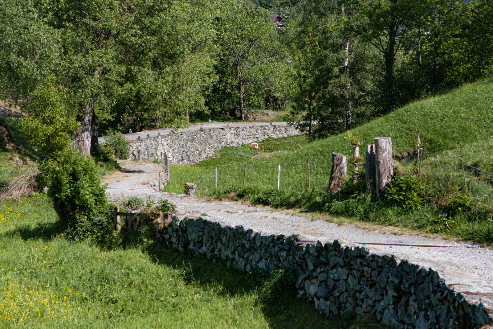
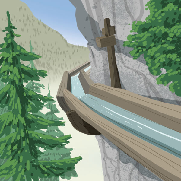
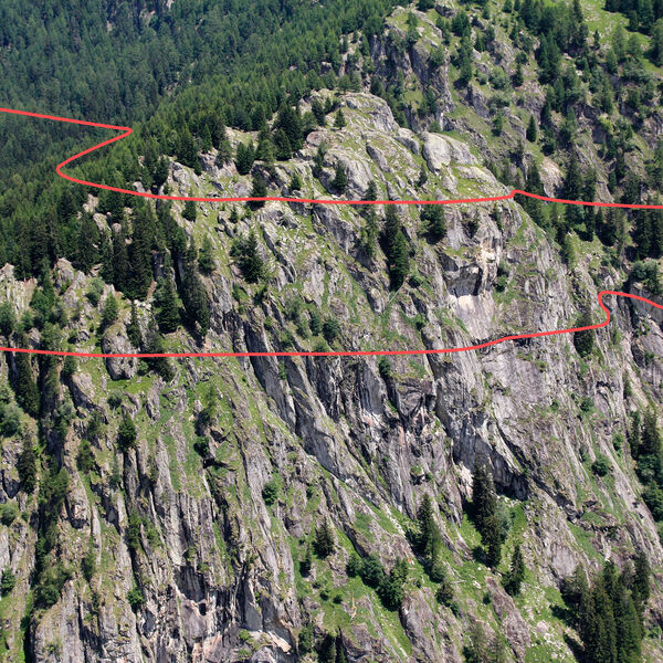
Ausgangspunkt ist das Safrandorf Mund. Der Weg Richtung Birgisch führt entlang der Suone Stigwasser ins wilde Gredetschtal und anschliessend dem Lauf der Oberschta folgend nach Oberbirgisch. Der Pfad durch die Magerwiesen oberhalb von Birgisch verläuft in leichtem Abstieg bis Geimerblatt, und senkt sich dann hinunter ins Tal. Hier werden die Wandernden Zeugen der Wegbaukunst unserer Ahnen, wobei der Abschnitt zwischen Moos und Naters besonders eindrücklich ist.
Wer den Abstecher ins Gredetschtal gerne ausweiten möchte und über gute Trittsicherheit verfügt, kann bereits in Mund den Zustieg über die Wasserleite Wyssa Richtung Gredetschtal wagen. Für den Weg durch die unbeleuchteten Tunnels ist das Bereithalten einer Taschenlampe empfehlenswert.
- Schwierigkeit
- mittel
- Distanz
- 12 km
- Dauer
- 3 Std. 30 Min.
- Start altitude
- 1'188 m ü. M.
- Endhöhe
- 673 m ü. M.
- Aufstieg
- 357 m
- Abstieg
- 872 m
- Niedrigster Punkt
- 672 m ü. M.
- Höchster Punkt
- 1'340 m ü. M.
Diese Wanderung führt durch das Wildtierschutzgebiet Alpjuhorn (Link).

Schweizer Alpen Jungfrau-Aletsch
Schweizer Alpen Jungfrau-Aletsch
Schweizer Alpen Jungfrau-Aletsch
Schweizer Alpen Jungfrau-Aletsch

Rhätische Bahn in der Landschaft Albula/Bernina

Rhätische Bahn in der Landschaft Albula/Bernina