Tektonikarena Sardona
Via GeoAlpina Tektonikarena Sardona
Die Via GeoAlpina ist ein gemeinsames Projekt der Alpenländer, welches im Rahmen des Internationalen Jahr des Planeten Erde 2007 lanciert wurde. Das Projekt hat sich als Ziel gesetzt, der Öffentlichkeit die geologischen, geomorphologischen oder hydrologischen Highlights entlang den verschiedenen Routen der ViaAlpina von Triest nach Monaco nahe zu bringen.
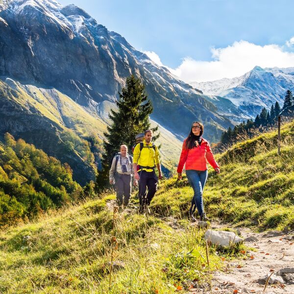
Zwei Etappen der Via GeoAlpina führen mitten durch das Welterbe Sardona.
Etappe 1: Weisstannen - Elm
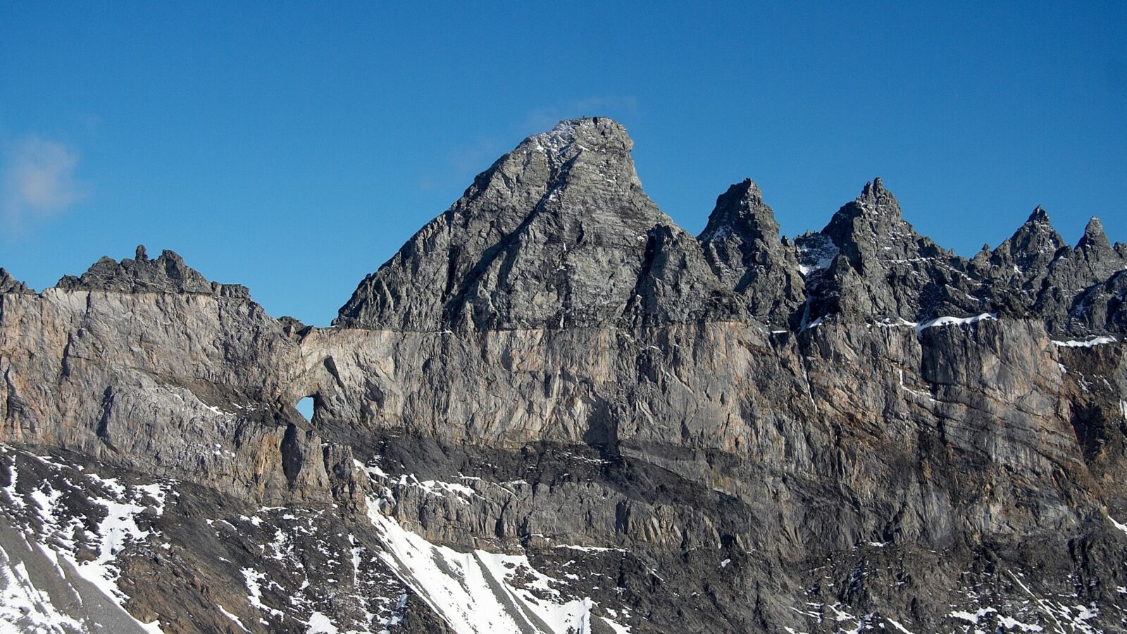
Die erste führt von Weisstannen nach Elm. Auf dieser Etappe kann man ein geologisches Phänomen von Weltformat beobachten: die Glarner Hauptüberschiebung. Diese prägt die Landschaft entlang der Route und ist an den Bergflanken deutlich zu erkennen.
- 23 km Distanz
- 7 Stunden 50 Minuten
- 1262 m Aufstieg, 1288 m Abstieg
- Schwierigkeitslevel: Schwierig
Mehr Informationen findest du hier.
Etappe 2: Elm - Linthal
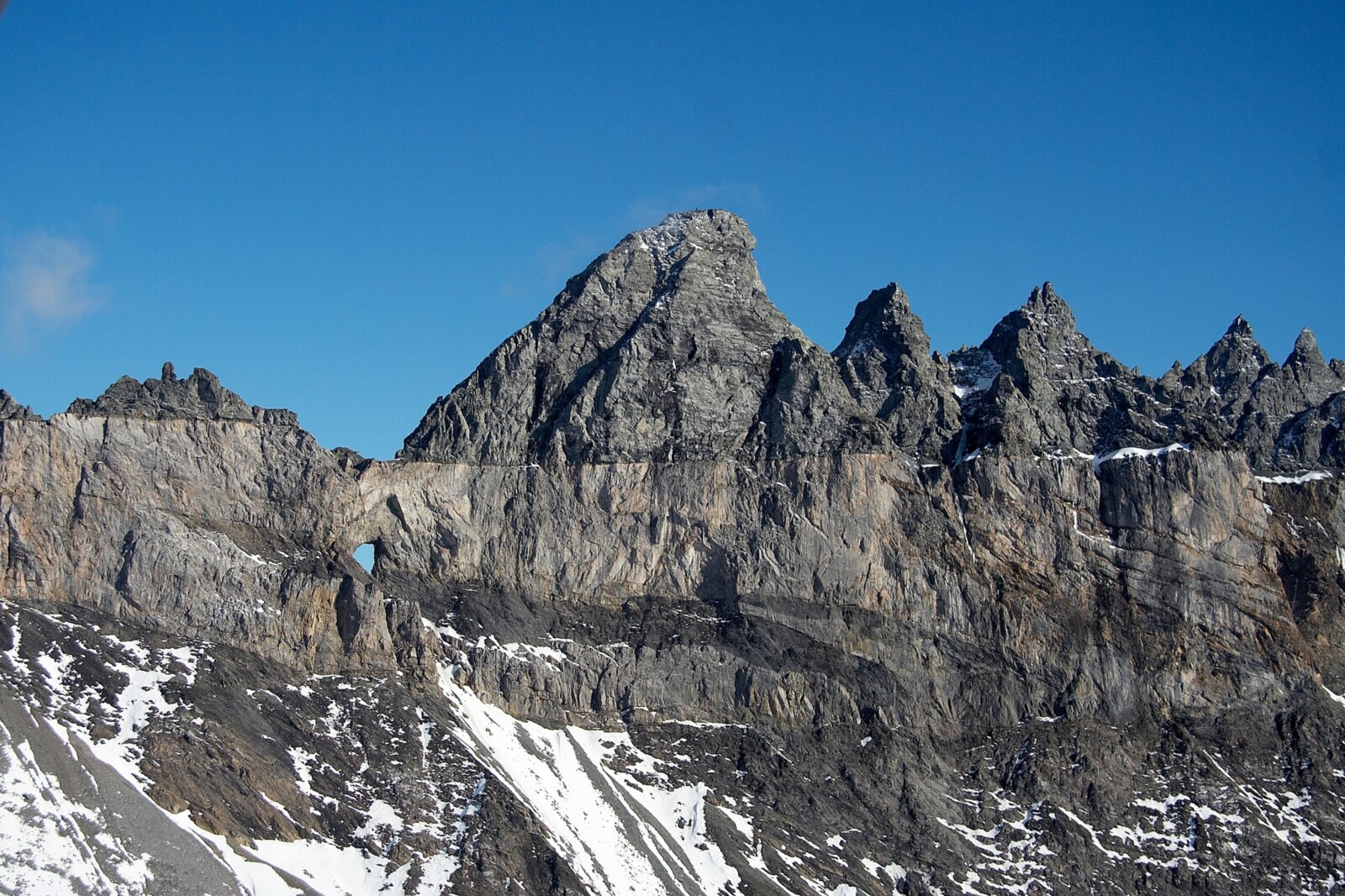
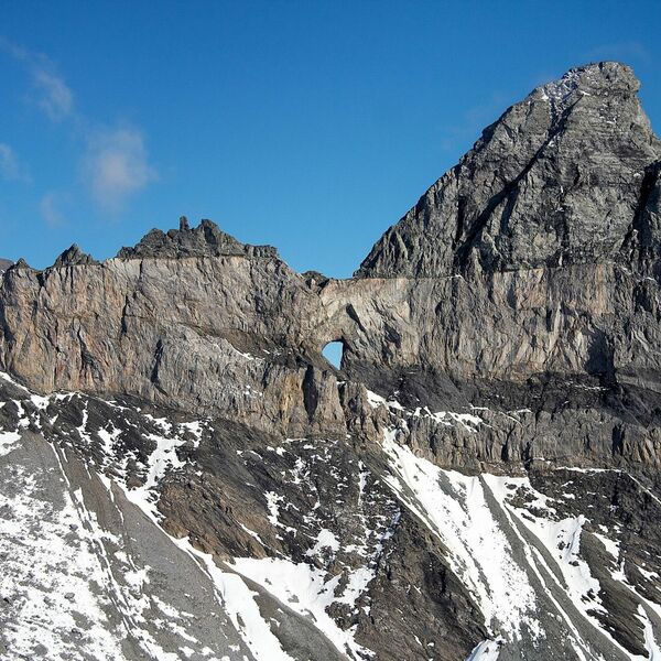
Die zweite Etappe von Elm nach Linthal führt durch eine eindrückliche Landschaft mit einem Bergpanorama, in welchem die Glarner Hauptüberschiebung wiederum besonders gut sichtbar ist. Besonders schön ist im ersten Teil der Blick auf das legendäre Martinsloch und die Tschingelhörner, welche die Grenze zwischen den Kantonen Glarus und Graubünden markieren.
- 25 km Distanz
- 9 Stunden, 15 Minutes
- 1510 m Aufstieg, 1840 m Abstieg
- Schwierigkeitslevel : Schwierig
Mehr Informationen findest du hier.
Tektonikarena Sardona
Tektonikarena Sardona
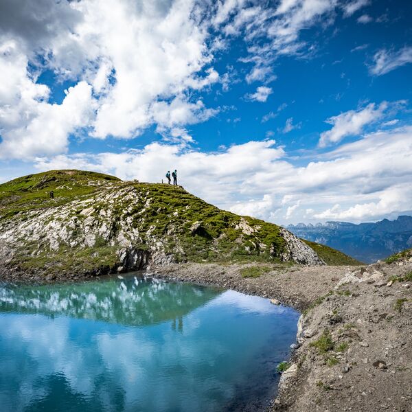
Tektonikarena Sardona
Tektonikarena Sardona
Rhätische Bahn in der Landschaft Albula/Bernina
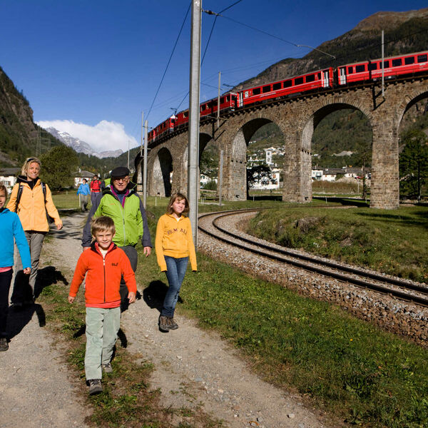
Rhätische Bahn in der Landschaft Albula/Bernina