
Schweizer Alpen Jungfrau-Aletsch
Die Felsarena rund um den Oeschinensee
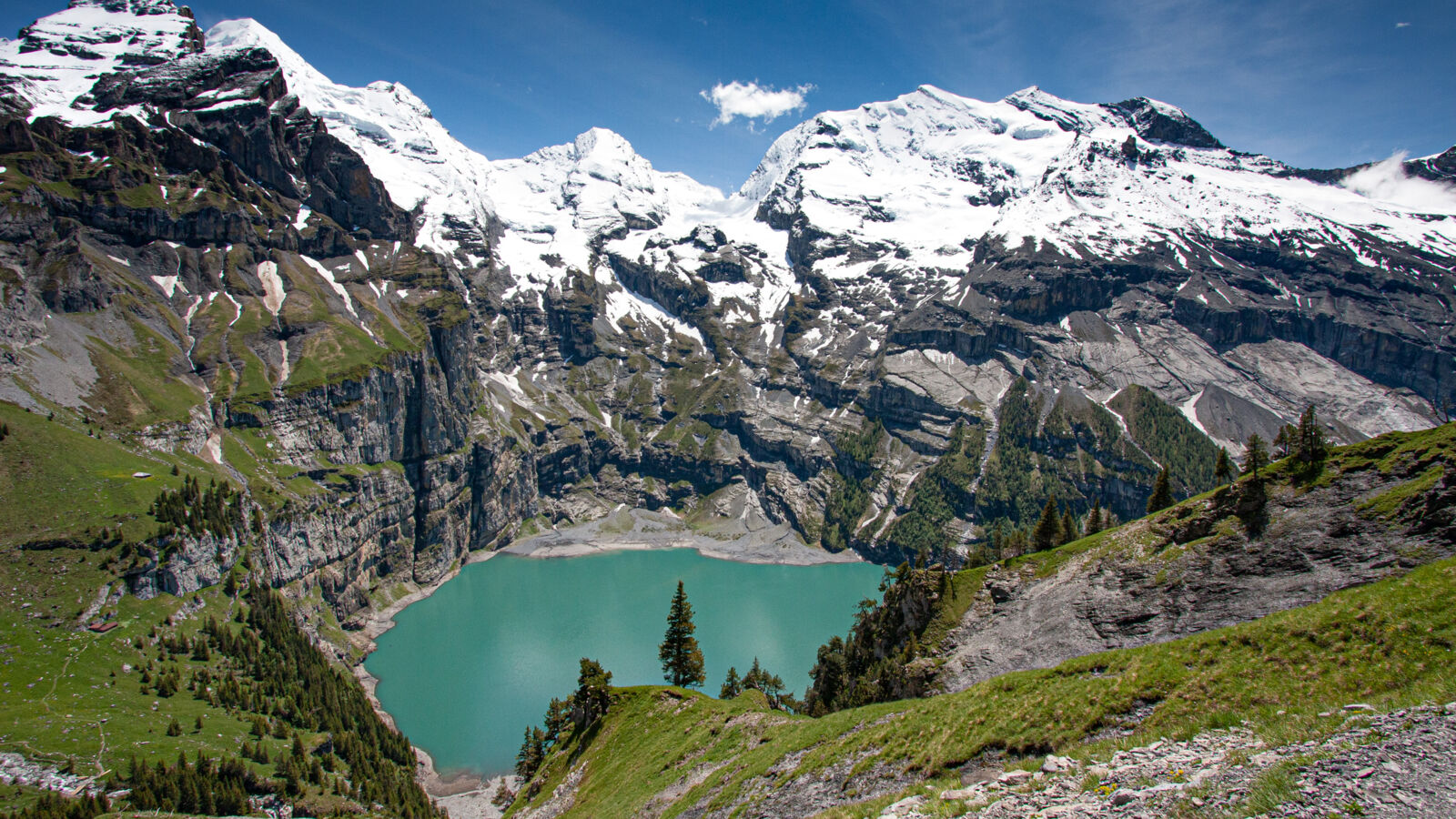
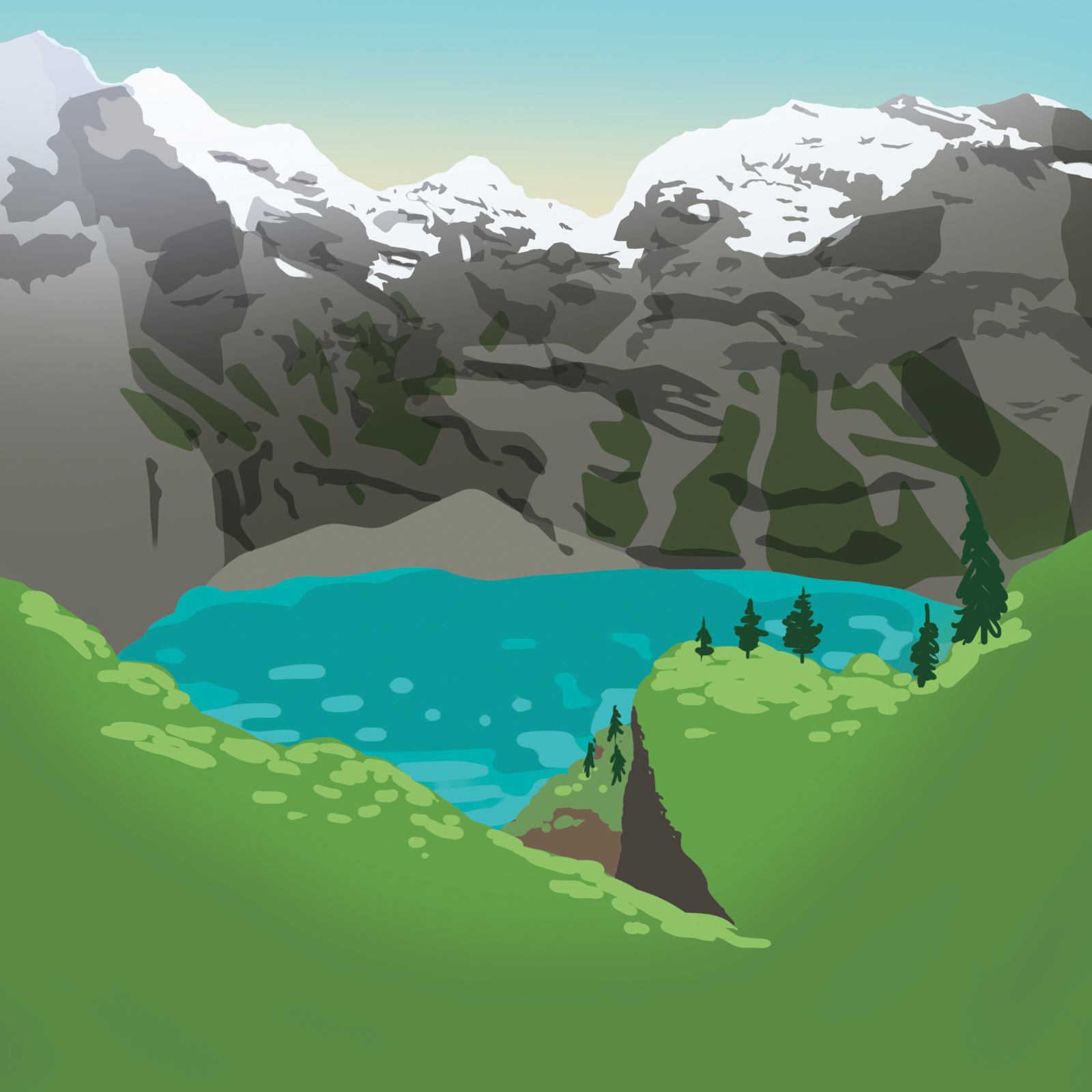
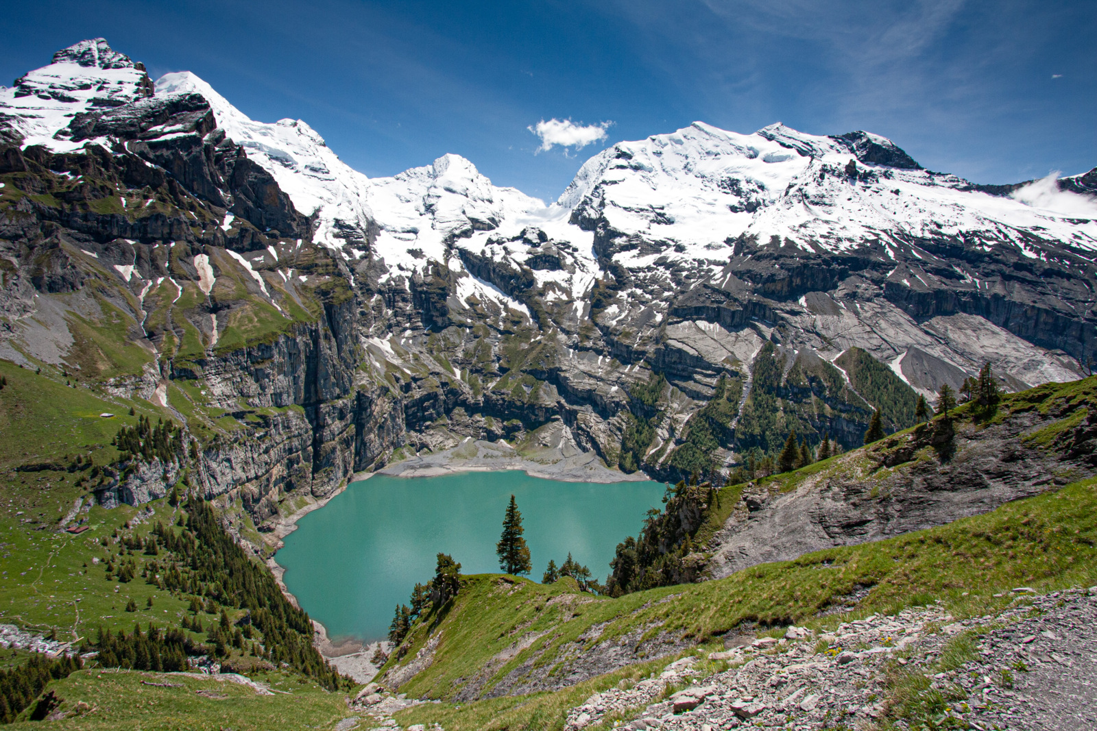
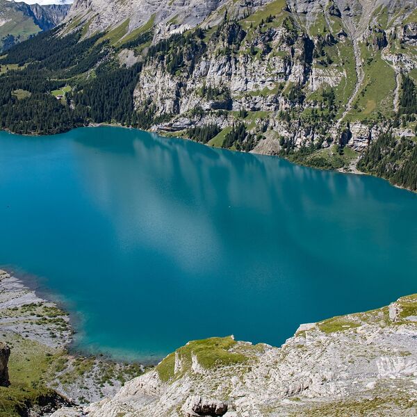
Zu Beginn der Wanderung steht der türkisfarbige Oeschinensee, der von den Dreitausendern Dolden-, Fründen-, Oeschinen- und Blüemlisalphorn umgeben ist, im Zentrum. Der Pfad führt von der Bergstation über Heuberg und Abeweid zum Oberbärgli und von dort über steile Felsstufen zum Underbärgli. Dieses Wegstück über die Felsstufen vom Oberbärgli zum Underbärgli ist teilweise ausgesetzt und erfordert gute Trittsicherheit.
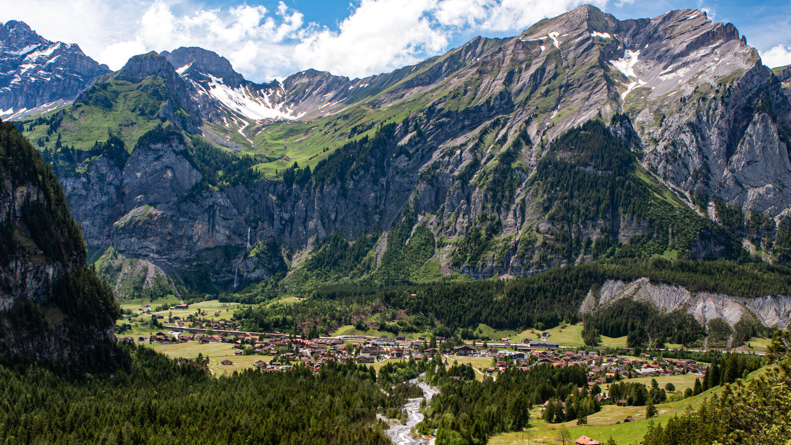
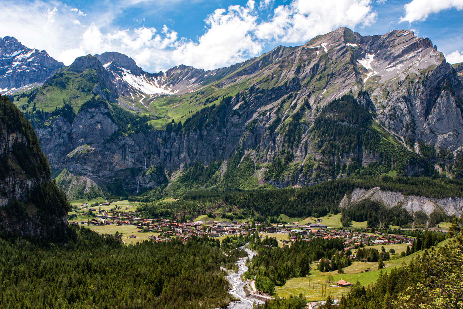
Die Route schlängelt sich unter vorstehenden Felspartien hindurch, via Holzbalme hinunter zum Oeschinensee, der durch einen Felssturz entstanden ist. Danach folgt die Wanderung dem Öschibach, vorbei an Wasserfällen, nach Kandersteg. Allfällige Einschränkungen in Folge akuter Bergsturzgefahr in diesem Gebiet sind unbedingt zu beachten.
Eine Abkürzung der Tour ist möglich, wenn man von der Station Oeschinensee aus direkt zum See und zurück nach Kandersteg wandert. Eine äusserst attraktive Alternative für eine anspruchsvolle Bergwanderung ist die Route über das Hohtürli vom Kiental her.
- Schwierigkeit
- mittel
- Distanz
- 11 km
- Dauer
- 3 Std. 50 Min.
- Start altitude
- 1'683 m ü. M.
- Endhöhe
- 1'170 m ü. M.
- Aufstieg
- 445 m
- Abstieg
- 958 m
- Niedrigster Punkt
- 1'170 m ü. M.
- Höchster Punkt
- 1'987 m ü. M.
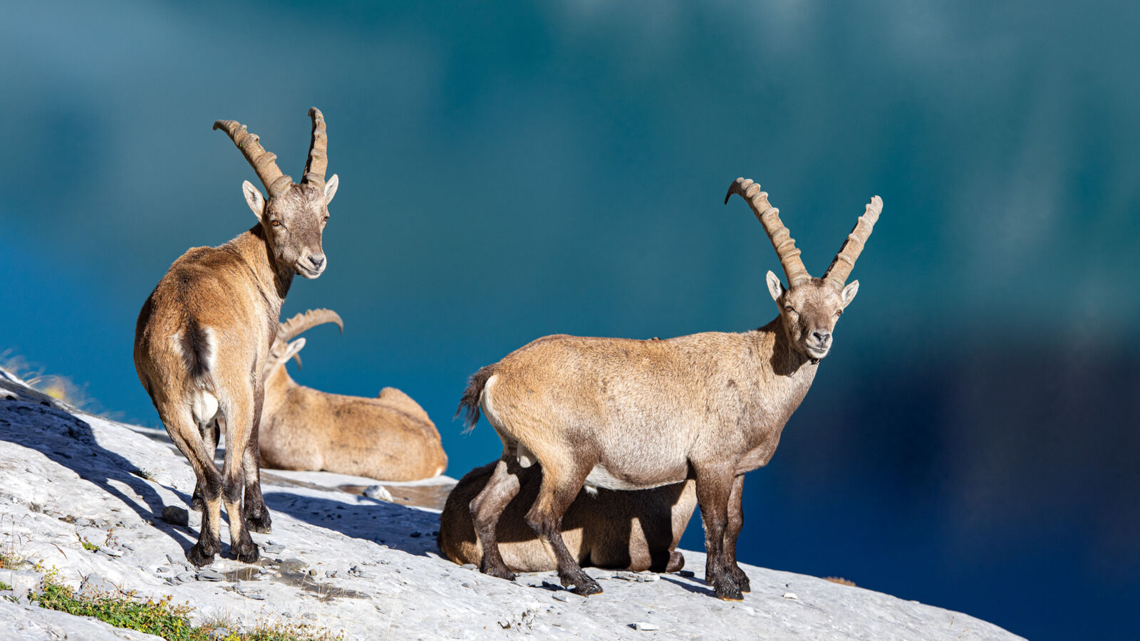
Diese Wanderung führt entlang der Wildruhezone Kandersteg Schattwald (Artikel).

Schweizer Alpen Jungfrau-Aletsch
Schweizer Alpen Jungfrau-Aletsch
Schweizer Alpen Jungfrau-Aletsch
Schweizer Alpen Jungfrau-Aletsch

Rhätische Bahn in der Landschaft Albula/Bernina

Rhätische Bahn in der Landschaft Albula/Bernina