Tektonikarena Sardona
Etappe 4: Weisstannen – Sardonahütte, 73.04 Sardona-Welterbe-Weg
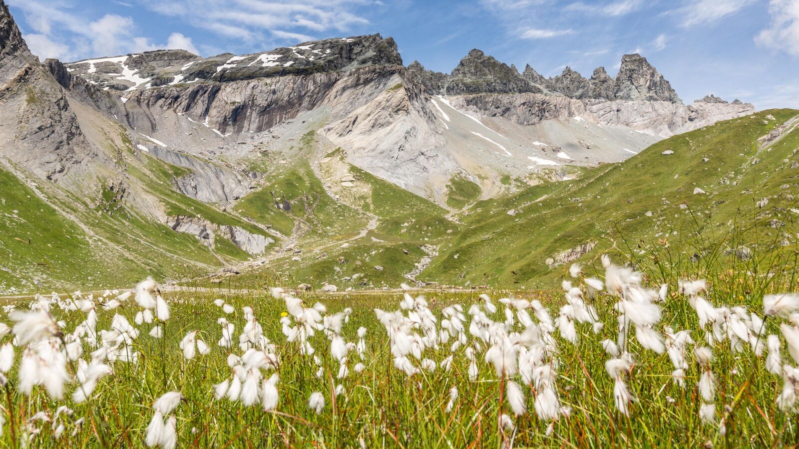
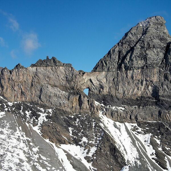
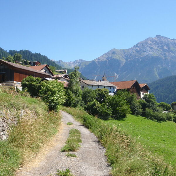
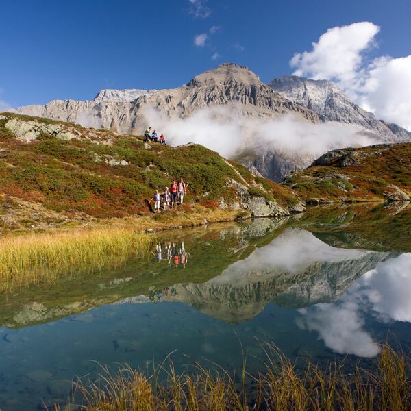
Von der früheren Walsersiedlung Weisstannen durch das wilde Flyschtal Lavtina zum 4-Wasserfall-Talkessel Batöni. Vom Heidelpass bis zum Etappenziel schweift der Blick auf die Glarner Hauptüberschiebung zwischen Ringelspitz und Piz Sardona.
Sardona-Welterbe-Weg weiter entdecken:
- Schwierigkeit
- schwer
- Distanz
- 16 km
- Dauer
- 6 Std. 40 Min.
- Start altitude
- 1'004 m ü. M.
- Endhöhe
- 2'153 m ü. M.
- Aufstieg
- 1'643 m
- Abstieg
- 490 m
- Niedrigster Punkt
- 1'004 m ü. M.
- Höchster Punkt
- 2'415 m ü. M.
Tour Highlight: Wasserfallarena "Batöni", Weisstannen, Wildsichtung möglich (Steinböcke, Bartgeier).
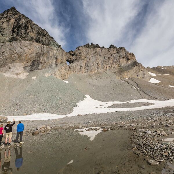
Achtung: Auf hoch gelegenen Abschnitten sind Schneefelder bis in die Sommermonate möglich.
An warmen Frühsommertagen können die Bäche auf dem Weg zur Sardonahütte anschwellen, was das Überqueren erschwert. Deshalb sollten Sie an diesen Tagen bei dieser anspruchsvollen Etappe nicht zu spät unterwegs sein.
