Schweizer Alpen Jungfrau-Aletsch
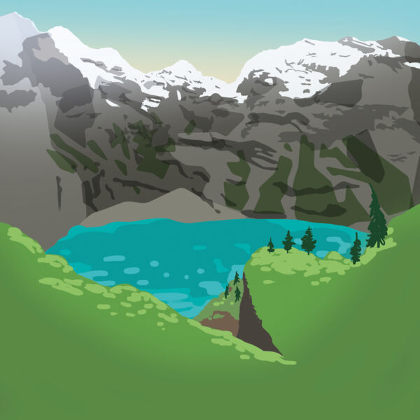
Wanderung am Grimselsee
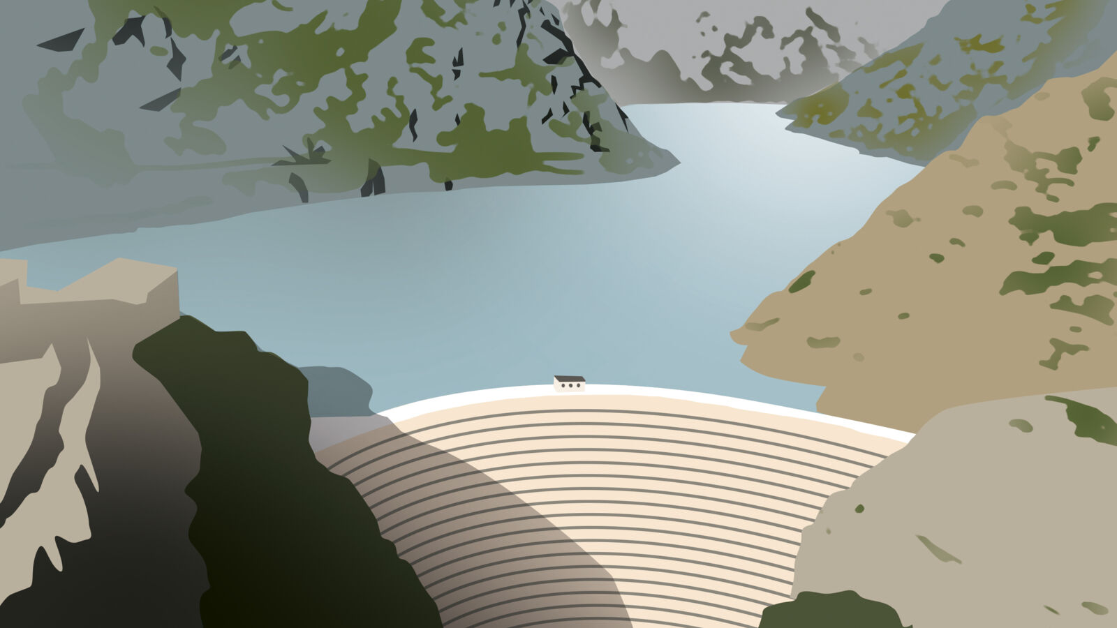
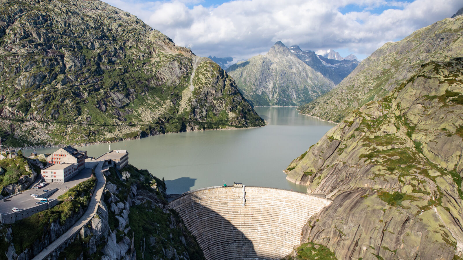
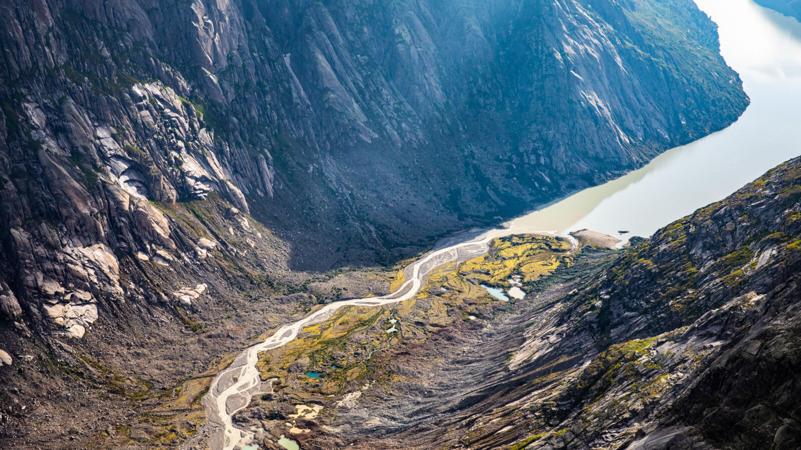
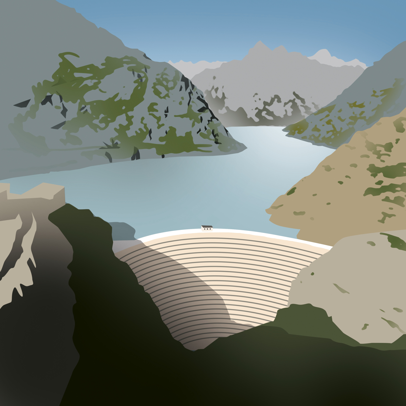
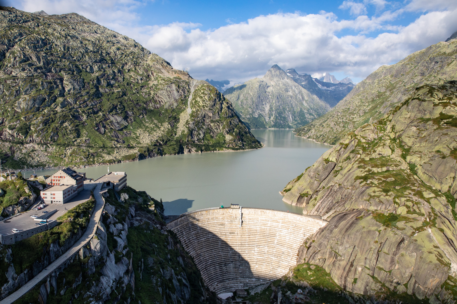
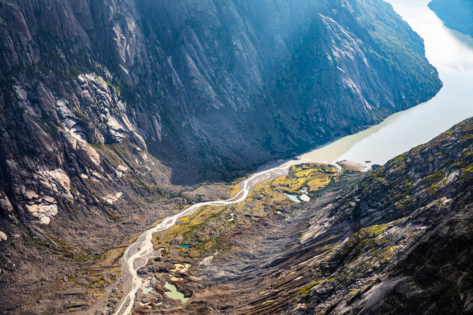
Auf dieser eindrücklichen Tagestour gelangen die Wandernden vom Grimsel Hospiz, entlang der Nordseite des künstlich aufgestauten Grimselsees bis zum Vorfeld des Unteraargletschers.
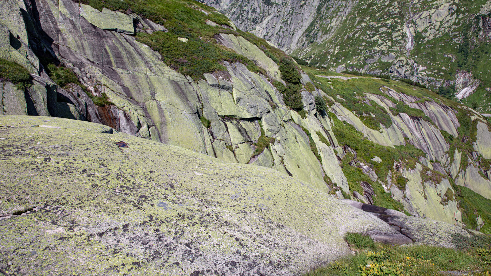
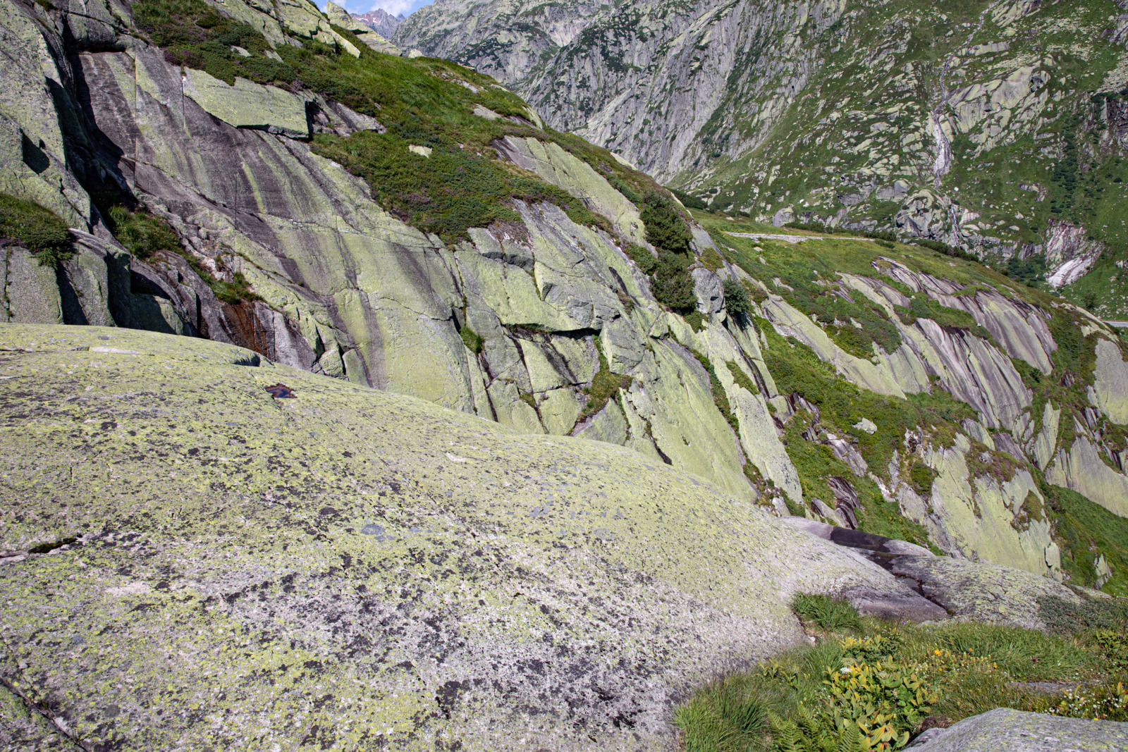
Der Weg führt durch eine vom Gletscher geprägte Landschaft, in welcher sich vielfältige Spuren der eiszeitlichen Vergletscherung entdecken lassen. Am Nordufer des Grimselsees zeigt sich ein malerisches Mosaik aus Mooren und Felsen: eine typische Rundhöcker-Moorlandschaft. Am meist steilen Hang haben die eiszeitlichen Gletscher eine Vielzahl von Geländemulden, abgerundeten Felskuppen und Rücken (Rundhöcker) in den Granit geschliffen. In den Geländemulden befindet sich heute eine Fülle kleiner und kleinster Moorflächen. Auch grössere Moore kommen vor, darunter das Flachmoor Mederlauwenen, welches mit einer Fläche von über 5 ha das grösste Flachmoor unseres Welterbes ist.
Der Rückweg zum Grimsel Hospiz führt über dieselbe Route. Am Ausgangs- und Endpunkt dieser Wanderung befindet sich auch das Besucherzentrum des UNESCO-Welterbes mit besonderem Augenmerk auf die Wasserkraft.
- Schwierigkeit
- mittel
- Distanz
- 14 km
- Dauer
- 4 Std. 40 Min.
- Start altitude
- 1'960 m ü. M.
- Endhöhe
- 1'974 m ü. M.
- Aufstieg
- 695 m
- Abstieg
- 681 m
- Niedrigster Punkt
- 1'908 m ü. M.
- Höchster Punkt
- 1'994 m ü. M.
Diese Wanderung führt durch das Naturschutzgebiet Grimsel. Es ist das grösste Naturschutzgebiet des Kantons Bern.
Folgende Verhaltensregeln gelten im Gebiet:
- Hunde an der Leine führen
- Alle Abfälle mitnehmen
- Feuerverbot
- Kein zelten und campieren
- Das Befahren mit Fahrrädern und Motorfahrzeugen abseits der Grimsel- und Oberaarstrasse sind untersagt
- Keine Pflanzen pflücken
- Keine Grabarbeiten und Verwenden von technischen Hilfsmitteln beim Sammeln von Mineralien
Informationstafeln vor Ort geben Auskunft über die geltenden Vorschriften.

Schweizer Alpen Jungfrau-Aletsch
Schweizer Alpen Jungfrau-Aletsch
Schweizer Alpen Jungfrau-Aletsch
Schweizer Alpen Jungfrau-Aletsch

Rhätische Bahn in der Landschaft Albula/Bernina

Rhätische Bahn in der Landschaft Albula/Bernina